
Carte topographique Xã Bình Thạnh
Carte interactive
Cliquez sur la carte pour afficher l’altitude.
À propos de cette carte
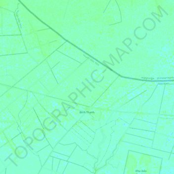
Nom : Carte topographique Xã Bình Thạnh, altitude, relief.
Lieu : Xã Bình Thạnh, Mộc Hóa District, Long An province, Vietnam (10.77302 105.99801 10.83503 106.11700)
Altitude moyenne : 3 m
Altitude minimum : 0 m
Altitude maximum : 7 m