
Carte topographique Gouda
Carte interactive
Cliquez sur la carte pour afficher l’altitude.
À propos de cette carte
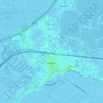
Nom : Carte topographique Gouda, altitude, relief.
Lieu : Gouda, Südholland, Niederlande (51.99626 4.65945 52.04012 4.75733)
Altitude moyenne : -1 m
Altitude minimum : -8 m
Altitude maximum : 6 m
Autres cartes topographiques
Cliquez sur une carte pour visualiser sa topographie, son altitude et son relief.
Broekhuizen
Niederlande > Südholland > Gouda
Broekhuizen, Gouda, Südholland, Niederlande, 2809 JP, Niederlande
Altitude moyenne : -1 m