
Carte topographique Tonge
Cliquez sur la carte pour afficher l’altitude.
À propos de cette carte
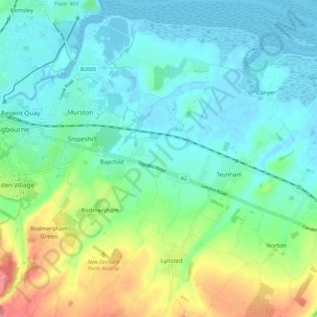
Nom : Carte topographique Tonge, altitude, relief.
Lieu : Tonge, Bapchild, Borough of Swale, Kent, England, United Kingdom (51.30225 0.75910 51.36539 0.82285)
Altitude moyenne : 23 m
Altitude minimum : -4 m
Altitude maximum : 86 m