
Carte topographique Saint-Quentin
Carte interactive
Cliquez sur la carte pour afficher l’altitude.
À propos de cette carte
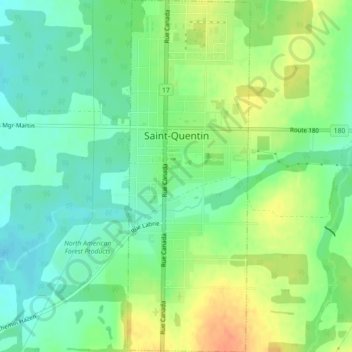
Nom : Carte topographique Saint-Quentin, altitude, relief.
Altitude moyenne : 284 m
Altitude minimum : 267 m
Altitude maximum : 308 m
Saint-Quentin is in the Restigouche region of the Appalachian Mountains, 50 kilometres west of Mount Carleton, the province's highest elevation.