
Carte topographique Ga-Segonyana Ward 13
Carte interactive
Cliquez sur la carte pour afficher l’altitude.
À propos de cette carte
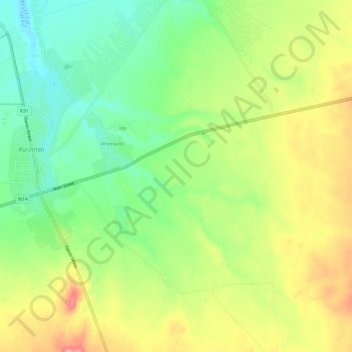
Nom : Carte topographique Ga-Segonyana Ward 13, altitude, relief.
Altitude moyenne : 1 346 m
Altitude minimum : 1 299 m
Altitude maximum : 1 416 m