Géolocaliser

Carte topographique Gumjal

Carte interactive

Cliquez sur la carte pour afficher l’altitude.

À propos de cette carte

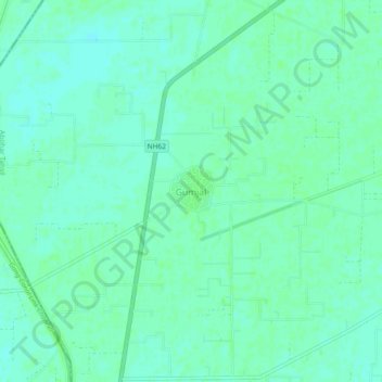
Nom : Carte topographique Gumjal, altitude, relief.

Lieu : Gumjal, Abohar Tahsil, Fazilka District, Punjab, India (29.97900 73.88977 30.01900 73.92977)

Altitude moyenne : 178 m

Altitude minimum : 174 m

Altitude maximum : 180 m

Autres cartes topographiques

Cliquez sur une carte pour visualiser sa topographie, son altitude et son relief.

Usman Khera

India > Punjab > Abohar Tahsil

Usman Khera, Abohar Tahsil, Fazilka District, Punjab, India

Altitude moyenne : 178 m

Abohar

India > Punjab > Abohar Tahsil

Abohar, Abohar Tahsil, Fazilka District, Punjab, 152116, India

Altitude moyenne : 188 m