
Carte topographique Schofield Barracks
Carte interactive
Cliquez sur la carte pour afficher l’altitude.
Schofield Barracks
Schofield Barracks has a tropical savanna climate. Owing to a higher elevation, Schofield is slightly cooler year round than Honolulu, but is still well within the realms of a tropical climate. Precipitation patterns closely resemble those of mediterranean climates being found in mainland California, but its warm winters prevents the climate from being classified as such.
À propos de cette carte
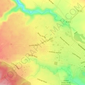
Nom : Carte topographique Schofield Barracks, altitude, relief.
Altitude moyenne : 279 m
Altitude minimum : 182 m
Altitude maximum : 353 m
Autres cartes topographiques
Cliquez sur une carte pour visualiser sa topographie, son altitude et son relief.