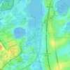
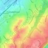
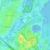
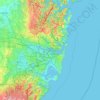
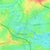
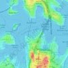
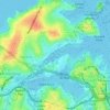
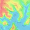
Carte topographique Cammeray
Cliquez sur la carte pour afficher l’altitude.
Cammeray
Prior to the 1920s, the suburb was known as Suspension Bridge reflecting the now Long Gully Bridge that joined Northbridge to Cammeray. Cammeray was slow to develop mainly due to its steep topography and remoteness from transport.
À propos de cette carte

Nom : Carte topographique Cammeray, altitude, relief.
Altitude moyenne : 66 m
Altitude minimum : -4 m
Altitude maximum : 104 m
Autres cartes topographiques
Cliquez sur une carte pour visualiser sa topographie, son altitude et son relief.