
Carte topographique Bình Thạnh
Carte interactive
Cliquez sur la carte pour afficher l’altitude.
À propos de cette carte
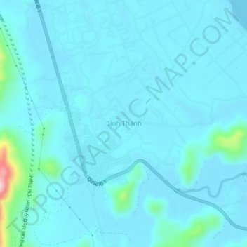
Nom : Carte topographique Bình Thạnh, altitude, relief.
Lieu : Bình Thạnh, Thị xã Sông Cầu, Phu Yen province, Vietnam (13.56603 109.18646 13.60603 109.22646)
Altitude moyenne : 23 m
Altitude minimum : 0 m
Altitude maximum : 262 m