
Carte topographique Gannan
Carte interactive
Cliquez sur la carte pour afficher l’altitude.
À propos de cette carte
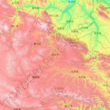
Nom : Carte topographique Gannan, altitude, relief.
Altitude moyenne : 3 075 m
Altitude minimum : 1 621 m
Altitude maximum : 4 740 m
Gannan, as illustrated by this chart for Xiahe, has an alpine subarctic climate (Köppen Dwc) that grades into an alpine climate (ETH) at the highest elevations. The climate is characterised by mild, rainy summers and frigid, but dry and sunny, winters.