
Carte topographique Barranco
Carte interactive
Cliquez sur la carte pour afficher l’altitude.
Barranco
The name Barranco (Spanish for ravine) is descriptive of its topography, featuring homes and restaurants in and around a ravine near a cliff overlooking a sand strip which runs from the Miraflores District to Chorrillos (now flanked by a highway, Costa Verde Ave.).
À propos de cette carte
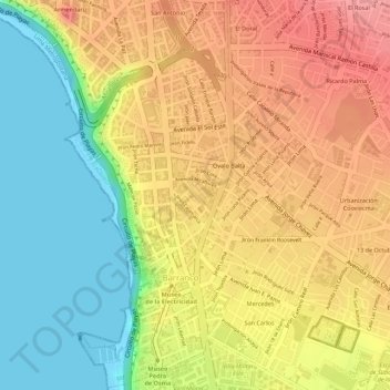
Nom : Carte topographique Barranco, altitude, relief.
Altitude moyenne : 55 m
Altitude minimum : 0 m
Altitude maximum : 101 m