
Carte topographique Charlotteville
Carte interactive
Cliquez sur la carte pour afficher l’altitude.
À propos de cette carte
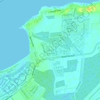
Nom : Carte topographique Charlotteville, altitude, relief.
Lieu : Charlotteville, New Providence, The Bahamas (25.04878 -77.49646 25.05359 -77.49098)
Altitude moyenne : 5 m
Altitude minimum : 0 m
Altitude maximum : 25 m
Autres cartes topographiques
Cliquez sur une carte pour visualiser sa topographie, son altitude et son relief.
Stanleyville
Stanleyville, New Providence, The Bahamas
Altitude moyenne : 7 m
Highbury Park
Highbury Park, New Providence, The Bahamas
Altitude moyenne : 7 m