Géolocaliser

Carte topographique Champa

Carte interactive

Cliquez sur la carte pour afficher l’altitude.

À propos de cette carte

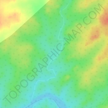
Nom : Carte topographique Champa, altitude, relief.

Lieu : Champa, Ranchi, Khunti, Jharkhand, Inde (22.84155 85.12190 22.86670 85.13178)

Altitude moyenne : 451 m

Altitude minimum : 428 m

Altitude maximum : 475 m

Autres cartes topographiques

Cliquez sur une carte pour visualiser sa topographie, son altitude et son relief.

Kanchi

Inde > Jharkhand > Bundu

Kanchi, Bundu, Ranchi District, Jharkhand, Inde

Altitude moyenne : 453 m

Chāmta

Inde > Jharkhand > Boram

Chāmta, Boram, East Singhbhum District, Jharkhand, Inde

Altitude moyenne : 281 m

Ramgarh

Inde > Jharkhand

Ramgarh, Jharkhand, 825316, Inde

Altitude moyenne : 426 m

Ramgarh

Inde > Jharkhand

Ramgarh, Jharkhand, Inde

Altitude moyenne : 469 m

Latehar

Inde > Jharkhand > Latehar

Latehar, Jharkhand, 829206, Inde

Altitude moyenne : 393 m