
Carte topographique Royal Borough of Kensington and Chelsea
Carte interactive
Cliquez sur la carte pour afficher l’altitude.
À propos de cette carte
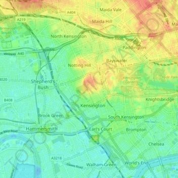
Nom : Carte topographique Royal Borough of Kensington and Chelsea, altitude, relief.
Altitude moyenne : 18 m
Altitude minimum : -11 m
Altitude maximum : 48 m