
Carte topographique Baralacha Pass
Carte interactive
Cliquez sur la carte pour afficher l’altitude.
Baralacha Pass
"The Bara Lacha is the boundary between two separate regions distinguished by their physical characteristics. That which we have already passed through may be called the true Himalayan region. Here the gigantic ranges are covered with perpetual snow, furrowed by glaciers, and they arise from amid dense forests which clothe their flanks up to a certain elevation. They are separated by deep gorges, whose sides are precipices, and though which large rivers flow. In fact the scenery is Alpine.
À propos de cette carte
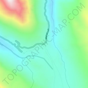
Nom : Carte topographique Baralacha Pass, altitude, relief.
Altitude moyenne : 4 983 m
Altitude minimum : 4 770 m
Altitude maximum : 5 595 m
Autres cartes topographiques
Cliquez sur une carte pour visualiser sa topographie, son altitude et son relief.