
Carte topographique Cardston (town)
Carte interactive
Cliquez sur la carte pour afficher l’altitude.
À propos de cette carte
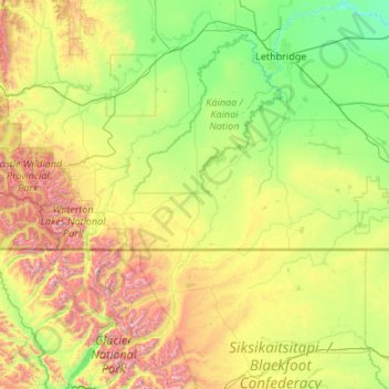
Nom : Carte topographique Cardston (town), altitude, relief.
Lieu : Cardston (town), Alberta, T0K 0K0, Canada (48.49307 -114.00930 49.89307 -112.60930)
Altitude moyenne : 1 306 m
Altitude minimum : 757 m
Altitude maximum : 3 135 m