
Carte topographique Livigno
Carte interactive
Cliquez sur la carte pour afficher l’altitude.
Livigno
Livigno est une commune de la haute vallée de la Valteline située à environ 1 800 m d'altitude, au pied de la chaîne de Livigno.
À propos de cette carte
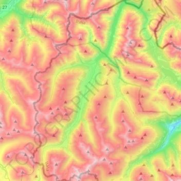
Nom : Carte topographique Livigno, altitude, relief.
Altitude moyenne : 2 388 m
Altitude minimum : 1 412 m
Altitude maximum : 3 255 m
Autres cartes topographiques
Cliquez sur une carte pour visualiser sa topographie, son altitude et son relief.