
Carte topographique Jimena de la Frontera
Carte interactive
Cliquez sur la carte pour afficher l’altitude.
Jimena de la Frontera
Jimena de la Frontera bénéficie d'un climat méditerranéen modéré. L'ensoleillement, de 3000 heures annuelles, contribue au maintien de températures moyennes comprises entre 18 et 20 °C. Cependant, le régime pluviométrique diffère sensiblement du reste du sud de l'Espagne, en raison de la topographie de la région du Détroit de Gibraltar, balayée par des vents d'est et d'ouest apportant une certaine humidité, et, partant, des pluies atteignant en moyenne 900 à 1000 millimètres annuels par m².
À propos de cette carte
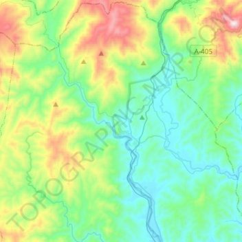
Nom : Carte topographique Jimena de la Frontera, altitude, relief.
Altitude moyenne : 269 m
Altitude minimum : 14 m
Altitude maximum : 1 001 m