

Carte topographique Anamudi
Cliquez sur la carte pour afficher l’altitude.
Anamudi
L'Anamudi, ou Anai Mudi (en malayalam ആനമുടി, littéralement « tête d'éléphant » ou bien « front d'éléphant »), est un sommet montagneux localisé dans l'État indien du Kerala, dans la chaîne des Ghâts occidentaux. Avec 2 695 mètres d'altitude, il est le point culminant de cette chaîne montagneuse ainsi que de toute l'Inde péninsulaire.
À propos de cette carte
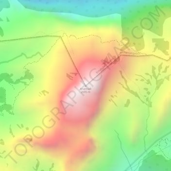
Nom : Carte topographique Anamudi, altitude, relief.
Lieu : Anamudi, Devikulam, Idukki, Kérala, 685614, Inde (10.16997 77.06162 10.17007 77.06172)
Altitude moyenne : 2 204 m
Altitude minimum : 1 662 m
Altitude maximum : 2 685 m