
Carte topographique Leadville
Carte interactive
Cliquez sur la carte pour afficher l’altitude.
Leadville
Leadville est une ville des États-Unis située à 3 000 m d'altitude, à 120 kilomètres à l'ouest de Denver, dans l'État du Colorado. Elle se situe à moins de quatre kilomètres de la source de l'Arkansas. C'est le siège du comté de Lake.
À propos de cette carte
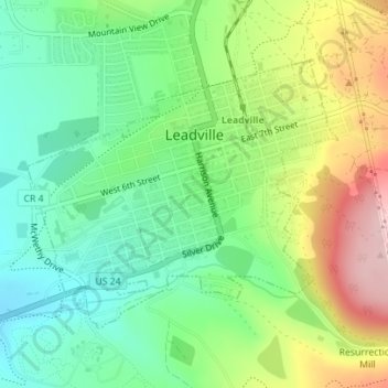
Nom : Carte topographique Leadville, altitude, relief.
Altitude moyenne : 3 106 m
Altitude minimum : 3 023 m
Altitude maximum : 3 247 m