
Carte topographique Kā Roimata o Hine Hukatere / Franz Josef Glacier
Carte interactive
Cliquez sur la carte pour afficher l’altitude.
À propos de cette carte
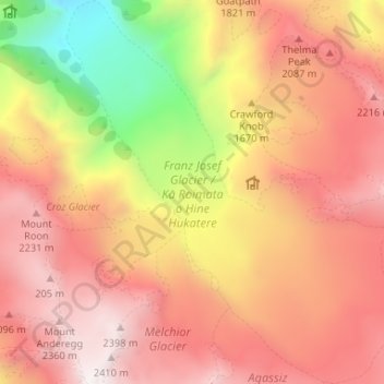
Nom : Carte topographique Kā Roimata o Hine Hukatere / Franz Josef Glacier, altitude, relief.
Altitude moyenne : 1 709 m
Altitude minimum : 578 m
Altitude maximum : 2 451 m