Géolocaliser

Carte topographique Lachung

Cliquez sur la carte pour afficher l’altitude.

À propos de cette carte
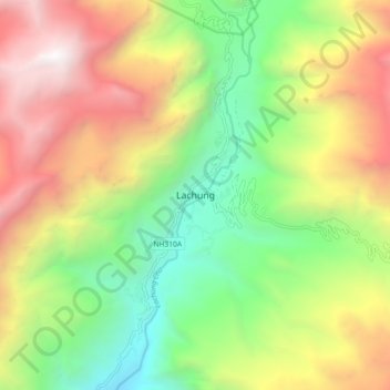
Nom : Carte topographique Lachung, altitude, relief.

Lieu : Lachung, Chungthang, Mangan District, Sikkim, Inde (27.64971 88.70259 27.72971 88.78259)

Altitude moyenne : 3 617 m

Altitude minimum : 2 281 m

Altitude maximum : 5 366 m

Équipez-vous pour votre prochaine aventure :

🖼️Art mural topographique - Décoration élégante représentant des reliefs célèbres
🔪Couteaux de camping - Couteaux polyvalents pour outdoor
🚲Support smartphone pour vélo - Utilisez topographic-map.com en direct sur votre guidon
🧳Sacs étanches - Protection du matériel contre l'eau
🔦Lanterne de camping LED - Éclairage d'ambiance pour l'intérieur de la tente

En tant que Partenaire Amazon, ce site perçoit une commission sur les achats éligibles sans surcoût pour vous.