
Carte topographique Pico de las Nieves
Carte interactive
Cliquez sur la carte pour afficher l’altitude.
Pico de las Nieves
Le pic de las Nieves (en espagnol pozo ou pico de las Nieves signifiant « pic des Neiges ») est le deuxième plus haut sommet de l'île de Grande Canarie, dans les îles Canaries, avec une altitude de 1 950 mètres. Il est situé sur le tripoint des territoires des communes de San Bartolomé de Tirajana, Tejeda et Vega de San Mateo.
À propos de cette carte
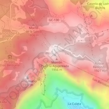
Nom : Carte topographique Pico de las Nieves, altitude, relief.
Altitude moyenne : 1 679 m
Altitude minimum : 1 038 m
Altitude maximum : 1 948 m