
Carte topographique Maturín
Carte interactive
Cliquez sur la carte pour afficher l’altitude.
Maturín
Maturín est le chef-lieu de la municipalité de Maturín et capitale de l'État de Monagas au Venezuela. Elle est située à 67 mètres d'altitude au bord de la rivière Guarapiche. Sa population estimée en 2000 était de 283 318 habitants.
À propos de cette carte
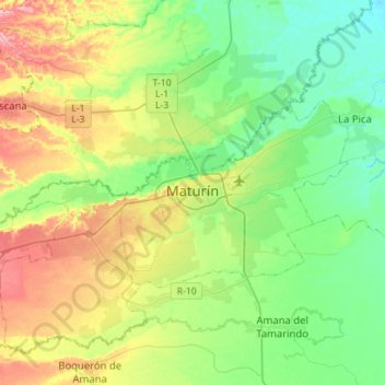
Nom : Carte topographique Maturín, altitude, relief.
Altitude moyenne : 58 m
Altitude minimum : 12 m
Altitude maximum : 150 m